Northern Kerala Archaeology Project
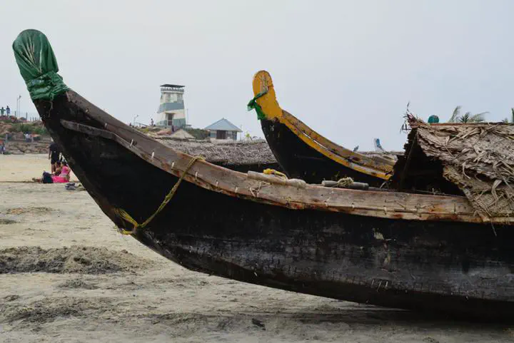
 Photo by Neha Gupta
NorKAP aims to shed light on the changing relationship between fishers and farmers in northern Kerala. Until very recently, our knowledge of the Indian past relied heavily on historic, epigraphic and numismatic sources (Chakrabarti 2003).
Since the 1980s, Indian archaeologists have increasingly thought of archaeology as a means of generating information regarding Indian history and have thus sought to further the collection and documentation of archaeological data across India. These interests coincided with the ramping up of natural resource extraction initiatives and the increasing frequency of road building, and the construction of power-generating plants and dams. Large-scale building projects often resulted in the displacement of local communities and the destruction of archaeological and historical sites. NorKAP, thus, seeks to provide scholars with fresh insight into the archaeology of Kerala.
The project brings together archival collections, published works, alongside archaeological field investigations and remote sensing technologies to gain insight on settlement patterns, as well as change and continuity within the Bharathapuzha River Valley.
Located between the Arabian Sea and the Western Ghats mountain range, the Bharathapuzha River Valley is characterized by slightly rolling uplands and plateaus that descend sometimes dramatically to the coastal plains. This region has witnessed rapid economic, environmental, social and political change over the past five decades that has impacted the pattern and distribution of villages, towns and cities. Yet the history of settlement and the relationship between towns and villages in the uplands and those in the coastal plains is not well understood. NorKAP begins to address this oversight and will expand and deepen our understanding of settlement history in northern Kerala.